Struggling in shallow waters
Snake River boat ramps suffer from lowered reservoir elevation; boaters having some difficulty getting out of marina
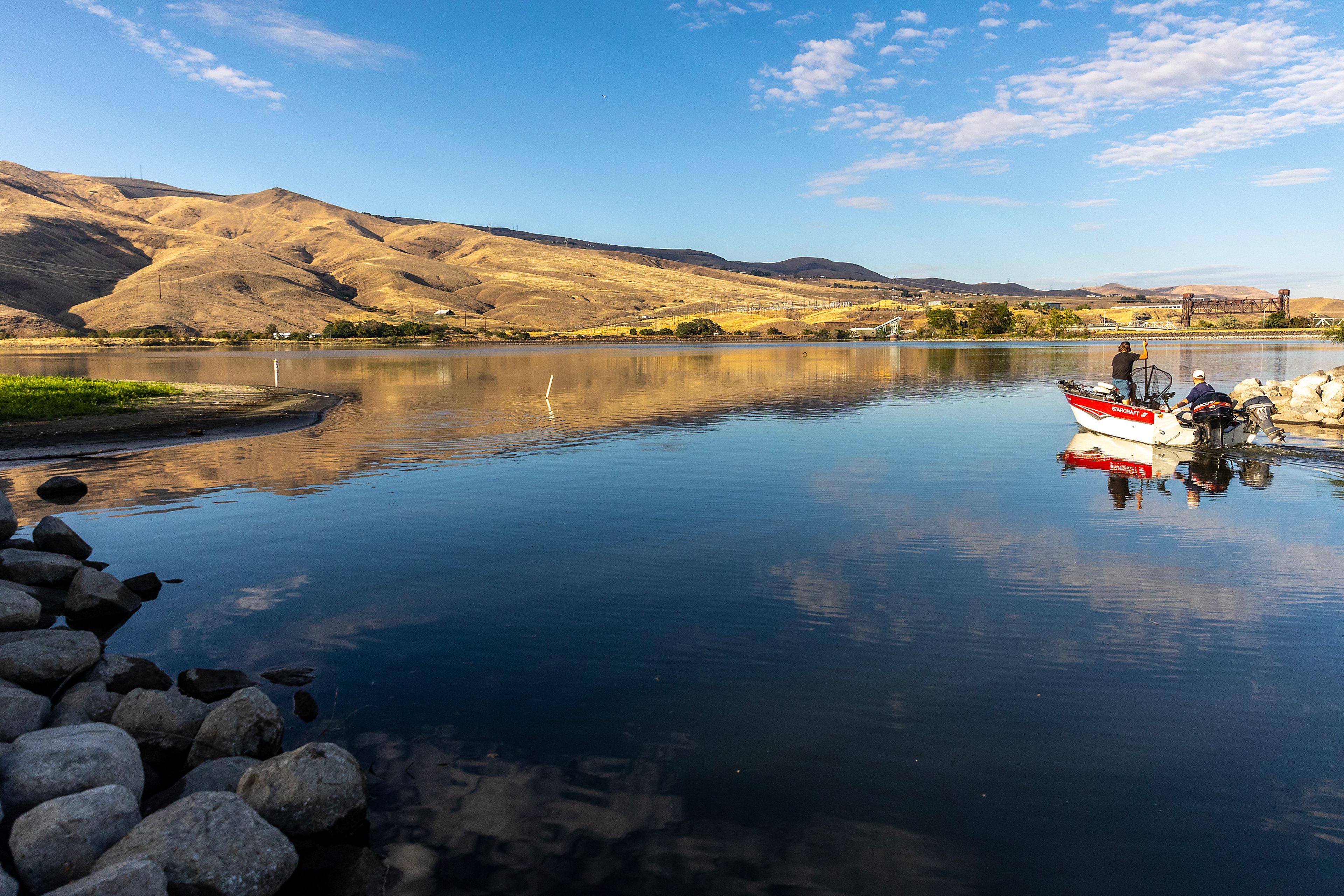
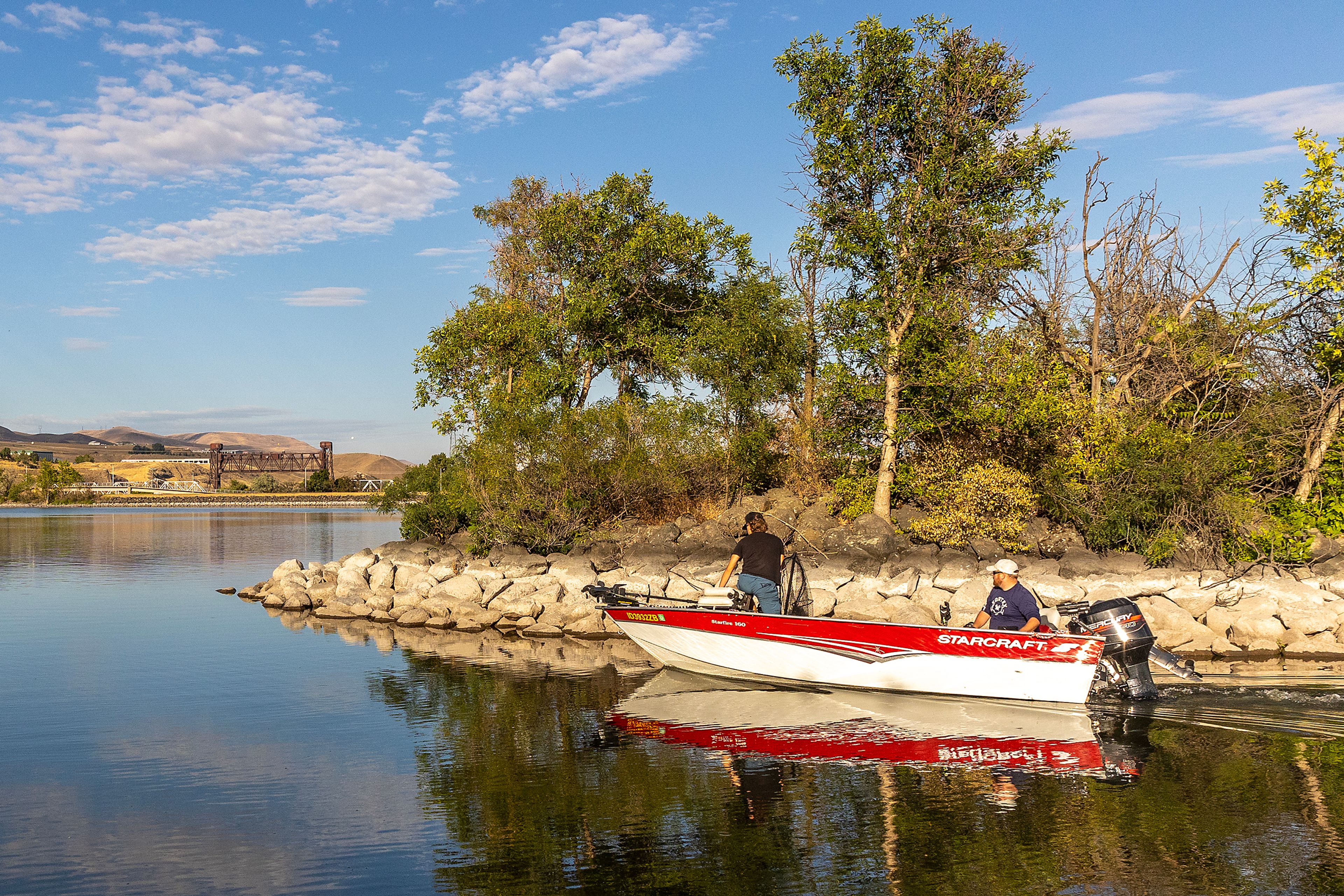
It’s a tight squeeze for boats exiting the Greenbelt Boat Launch at Clarkston.
The same is true for boaters leaving Hells Gate Marina, and the lagoon near the Swallows Park Boat Launch is as shallow as ever.
John Macy, of Asotin, uses the Swallows launch when he wants to pilot his jet boat up the Snake River. He says it won’t be long before it’s too shallow.
“It’s been filling up for the last few years,” he said. “My feeling is the (Army Corps of Engineers) is letting the community down by letting it fill up with silt.”
Richard Scully, of Lewiston, is worried about the Greenbelt Launch. He said the water over a sandbar at its mouth is only about 1.5 feet deep and boaters have to partially lift their motors to squeeze through.
“People are still using it but I’m sure they may be churning up a little mud,” he said.
The Greenbelt Launch hasn’t seen much use recently but it’s about to get much busier. Fall chinook fishing season opens next Friday and the launch is the closest river access point for boaters looking to fish the confluence of the Snake and Clearwater rivers where early arriving salmon stack up before continuing upstream.
“It’s a cold-water refugia,” Scully said. “The Clearwater is putting cold water in. The Snake River is 72 degrees and they hit the Clearwater and it’s 55 (degrees). They breathe a big sigh of relief and sit there for a while.”
He also lays blame for the shallow conditions on the Corps.
What gives
The slackwater portion of the Snake River behind Lower Granite Dam is running at a lower elevation than it has in several years. The federal government’s plan to operate the river in a way that seeks to lessen some of the negative effects the four lower Snake River dams have on threatened and endangered wild salmon and steelhead calls for the reservoir to be lowered during the spring and summer when juvenile salmon and steelhead are migrating downstream. The lower river profile slightly speeds up fish travel time. The agency is mandated to run the reservoir within about 1.5 feet of its minimum operating pool.
However, for the last several years, the reservoir was kept about 3 feet above that level. To the chagrin of fish managers, the higher elevation was needed to aid navigation and prevent barges from getting stuck on sandbars.
Last winter, the navigation channel was dredged and an estimated 258,000 cubic yards of sediment was removed. Areas near the ports of Lewiston and Clarkston also were dredged at the ports’ expense.
Dredging allowed the river to be lowered back to its prescribed elevation this spring and summer. But the lower elevation is making boat launches and marinas more difficult to use.
In official comments associated with the environmental analysis required to approve dredging, the Idaho Department of Fish and Game alerted the Corps of the need to remove sediment from the Greenbelt Launch.
Dylan Peters, a spokesperson for the Corps at Walla Walla, said in an email to the Tribune that Snake River boat launches and marinas could not be dredged at the same time.
“Last winter’s dredging operations were funded through monies (specifically) reserved for federal navigation channel maintenance. This funding source was not applicable to recreation projects, which is what would apply to the boat launches.”
The agency is working on environmental analysis that would allow marinas, boat launches and other recreation areas to be dredged. Peters could not say when dredging may be approved or if funding will be available.
There may be some relief coming. The juvenile salmon and steelhead migration season concludes at the end of this month. At that time, it’s possible the Corps could raise the elevation of the reservoir.
If that happens, boaters may be pleased, but fans of a new beach may not. A sandbar on the western bank of the Snake River near the intersection of Critchfield Road and Washington State Route 129 between Asotin and Clarkston has become a popular destination for beachgoers this summer. While the small spit of sand has been present in the past, the lower reservoir elevation has expanded its size. It’s possible that additional sedimentation is partially responsible for the increased size of the area that some people refer to as Duckworth Beach.
Decreased flows on Clearwater
River flows on the lower Clearwater River have dropped this week. That is by design. Each summer, Dworshak Reservoir on the North Fork of the Clearwater River is drafted 80 feet. The release of cold water from deep in the reservoir is used to cool the lower Snake River as the water flows downstream. During most years, the releases begin in July and last until mid-September and the last few weeks of the releases are specifically reserved for the Nez Perce Tribe, a co-manager of Snake River salmon and steelhead. The late, cold water helps keep adult fall chinook and steelhead moving upstream and aids any juvenile fall chinook that still may be making their way downstream.
This year, fish managers feared the water dedicated for cooling the river may run out before the tribe’s water kicks in, making it necessary to temporarily cut off flows late this month before resuming them in September.
During most years, reservoir drawdown is somewhat slowed by inflows from the North Fork of the Clearwater River. However, river flows are below average this year.
In an effort to prevent a temporary halt to the Dworshak water, they opted to reduce flows exiting the reservoir this week, which is timed to coincide with a decrease in migrating juvenile fish.
That move, more by chance than design, coincided with the arrival of cooler-than-average weather.
“This cool front is very welcome,” said Jonathan Ebel, a fisheries biologist with the Idaho Department of Fish and Game at Boise. “We might not heat up the river too much with this operation and we saved some water.”
Barker may be contacted at ebarker@lmtribune.com or at (208) 848-2273. Follow him on Twitter @ezebarker.


