Winter weather forecast: Bundle up on the Palouse
Travel expected to be very hazardous in some areas; Lewiston-Clarkston Valley not predicted to get brunt of storm
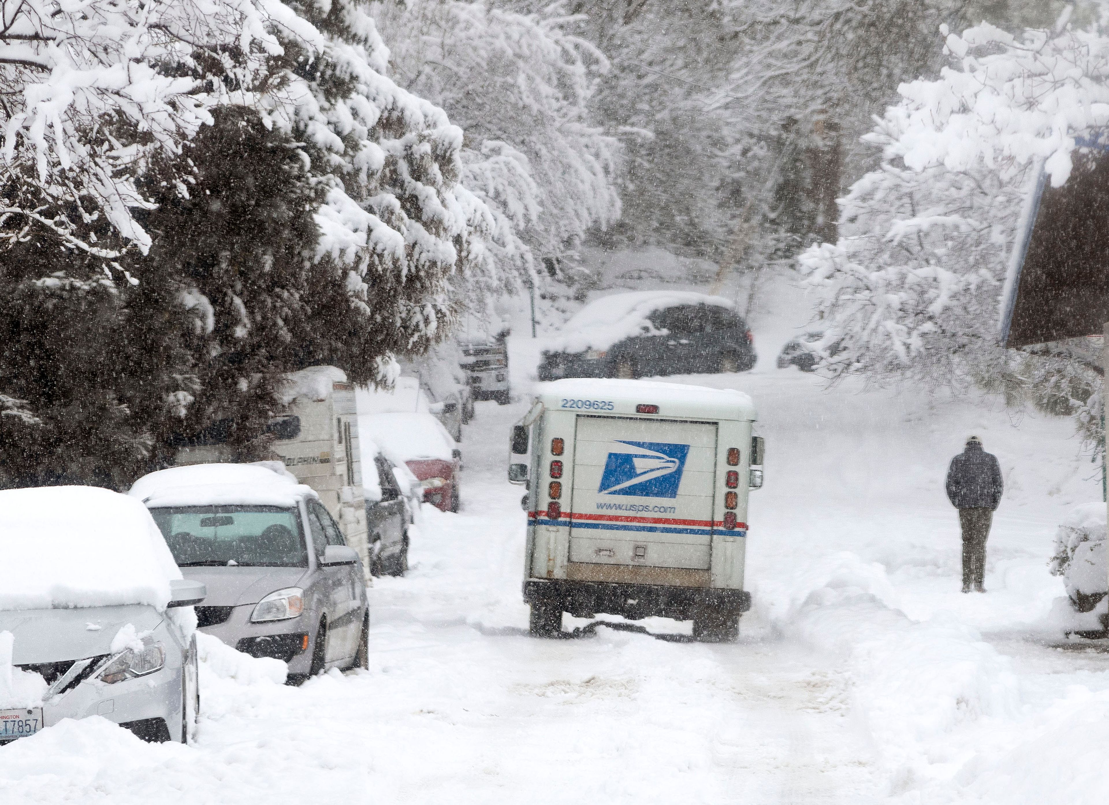
Old Man Winter took his time waking up, but he’s settled over the Palouse and shook out a heavy set of snow Wednesday.
The weather outlook through the weekend into Tuesday is more and plenty of the same, with periods of heavy snow on the Palouse. The University of Idaho shut down at 1:30 p.m. Wednesday after the region was hammered by almost nonstop snow since Sunday. A National Weather Service winter storm warning reported pockets of freezing rain is possible today.
NWS Spokane Meteorologist Matt Fugazzi said Pullman reported 6 to 7 inches of snow Wednesday. Fugazzi said that didn’t appear like a record-breaking amount, but it is a late storm for the snow to be dropping this heavily in mid-February.
Travel is expected to be extremely hazardous and could be impossible in some areas. The storm will hit hardest in eastern Washington and the Idaho Panhandle, and drop an additional 3 to 4 inches of snow. The Idaho Transportation Department’s highway monitoring web tool, 511.idaho.gov, reported drifting snow blowing over large chunks of U.S. Highway 95 north of Moscow. Wet, slushy state highways were reported to the east of U.S. 95, with some icy spots.
The Lewiston-Clarkston Valley — or slush-mush valley as it appeared Wednesday — won’t get the brunt of the storm front moving through the region, but more snow is expected. Light to moderate snow is expected through the weekend and possibly extending to Tuesday.
Fugazzi said the region is no longer under an arctic air mass. Rather, a polar maritime air mass is making increased precipitation. With the warmer air, rain and non-accumulating snow is expected.
“It’s still cold but it’s conducive to allow the Palouse and Lewiston to get the occasional rain mixed with snow,” Fugazzi said. “The pattern has been stuck in storm after storm.”
Holm may be contacted at tholm@lmtribune.com or at (208) 848-2275. Follow him on Twitter @TomHolm4.


