Painted Hills offer colorful history
Area is part of the John Day Fossil Beds in eastern Oregon
MITCHELL, Ore. - Among the sagebrush and scrub trees that inhabit this portion of eastern Oregon, it's easy to miss the aptly named Painted Hills. Only a small sign directs travelers along Highway 26 west of here to head north several miles to the Painted Hills.
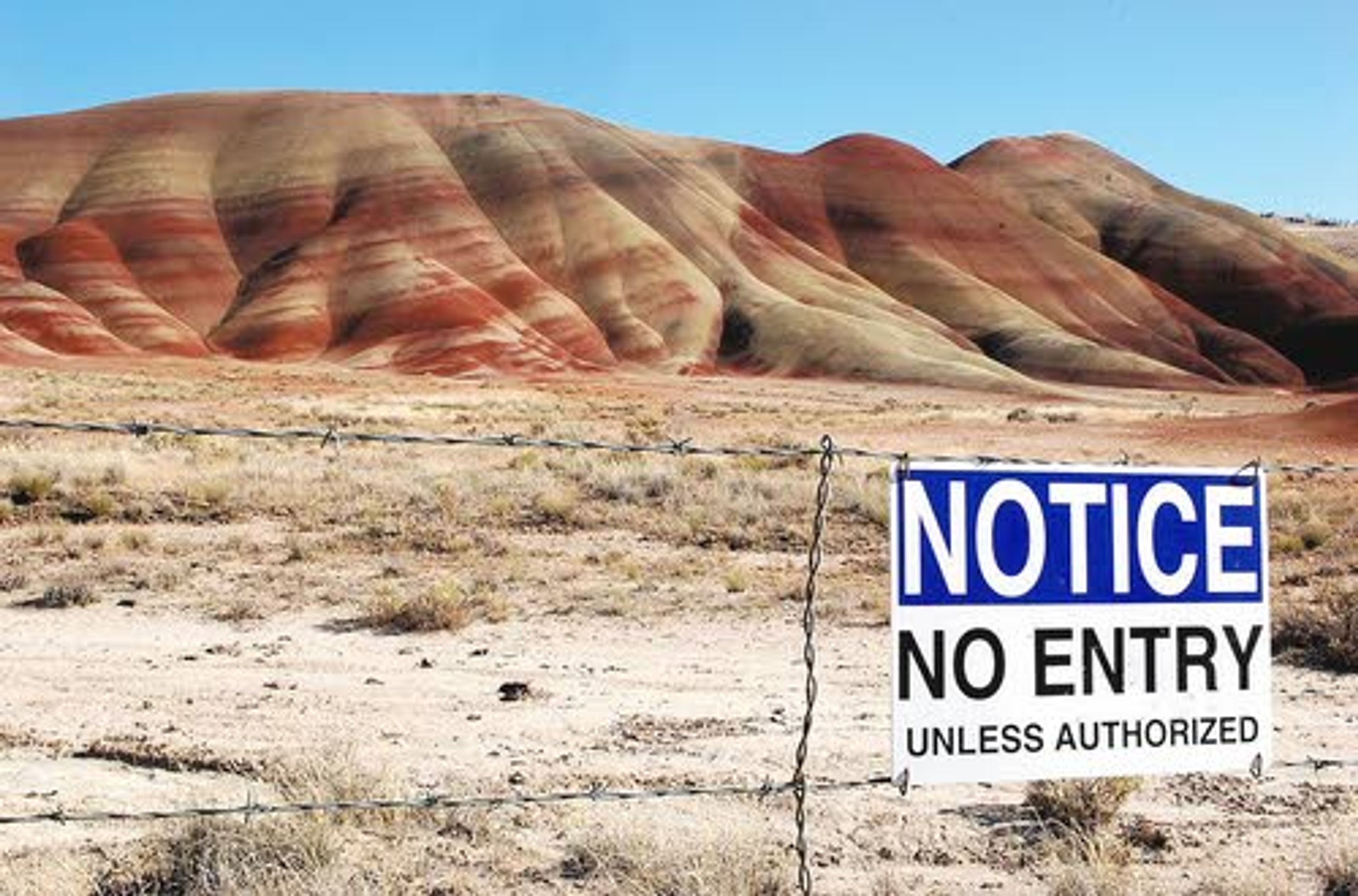
There, hills infused with horizontal stripes of reds, yellows, grays and specks of black rise from the plain. With the colors created from oxidized mineral deposits found in heavily eroded volcanic ash layers, the hills are unlike anything found elsewhere in Oregon.
The Painted Hills are one of three units of the John Day Fossil Beds National Monument. They spread out over 14,000 acres in sparsely populated Wheeler and Grant counties. The Painted Hills and the Clarno unit, between Fossil and Antelope, are located in Wheeler County. The Sheep Rock unit is located just east of Wheeler County, at the western edge of Grant County, near Dayville.
The John Day Fossil Beds rank third in annual attendance out of the four national parks and monuments located in Oregon. Crater Lake attracts the most visitors, more than 400,000 a year, followed by the Lewis and Clark National Historic Park with more than 200,000 annual guests. The Fossil Beds had 112,578 visitors last year, down from 124,704 the year before. So far this year, 101,040 guests have gone there, an increase of 19.5 percent. Highway 26, which leads to John Day and Vale, has less traffic than Highway 20 heading to Vale through Burns.
That and the relative remoteness of eastern Oregon probably explains why more people don't visit the John Day Fossil Beds. Thomas Condon, a self-trained scientist and pioneer Oregon minister, was the first person to understand the scientific significance of the fossil beds.
The Irish native first visited the area in 1865 and made numerous trips there. He was later appointed Oregon's first state geologist, during a period when he was teaching at Pacific University in Forest Grove. He was named the University of Oregon's first professor of geology at the school's founding in 1876 and continued there until 1907.
The Thomas Condon Paleontology Center at the Sheep Rock unit houses the monument's fossil collection. There are numerous displays recounting the area's history and showing plants and animals that lived there over time. More than 2,100 species have been identified. Visitors can also watch scientists working on fossils from behind a window.
Across the road is the James Cant Ranch, where visitors can get a feel for a working ranch from the early 1900s. The Northern Paiute tribe was the main occupant of the Sheep Rock unit, while the Painted Hills and the Clarno unit was inhabited by the Tenino tribe. Other Native American tribes that were also present include the Umatilla, Molalla, Wasco, Cayuse and Nez Perce, according to the National Park Service.
The drive north from the Condon Center to Kimberly - a distance of about 17 miles - is particularly stunning. There are several different jagged, basalt-topped peaks, including Cathedral Rock, which slid down from a nearby bluff and caused a rerouting of the John Day River.
A mile-by-mile map is available at the Condon Center. That section includes the Blue Basin, consisting of blue-green volcanic ash that over time turned into claystone. Two hiking trails provide stunning views of the rock formations. The Palisades, cliffs formed 44 million years ago from a series of ash-filled mud flows, are the main attraction of the Clarno unit. The rock formations tower over Highway 218.


