DAYTRIPPING: Holey moley, it’s a pioneer tunnel!
Hole in the Wall, along the Grande Ronde River, is a unique example of homesteader stick-to-itiveness
This story originally appeared in our Daytripping section May 19, 2022.
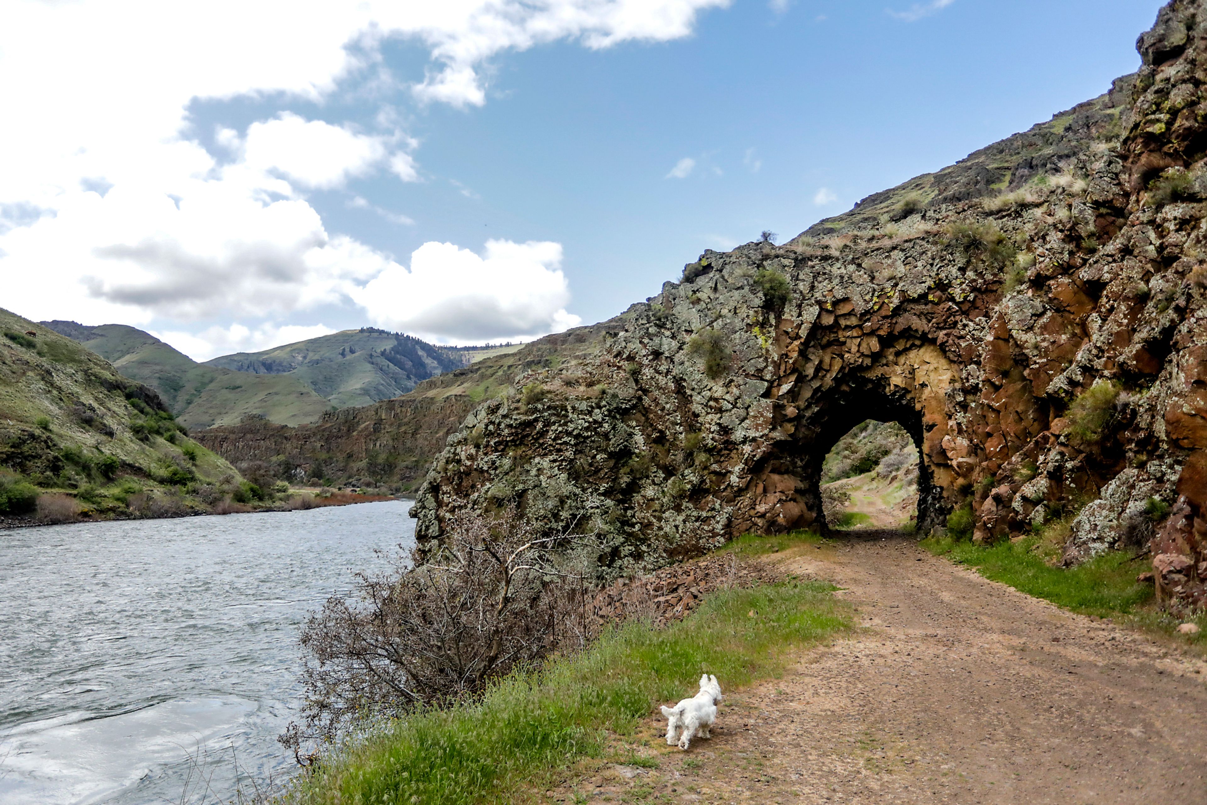
ANATONE — If you’re looking for a fun little adventure and gorgeous scenery, check out the Hole in the Wall at the bottom of Shumaker Grade along the Grande Ronde River.
There you can imagine what it was like to travel to and from Oregon in the late 1800s and early 1900s. It may make you scratch your head, wondering how people got their wagons or vehicles down there in the first place.
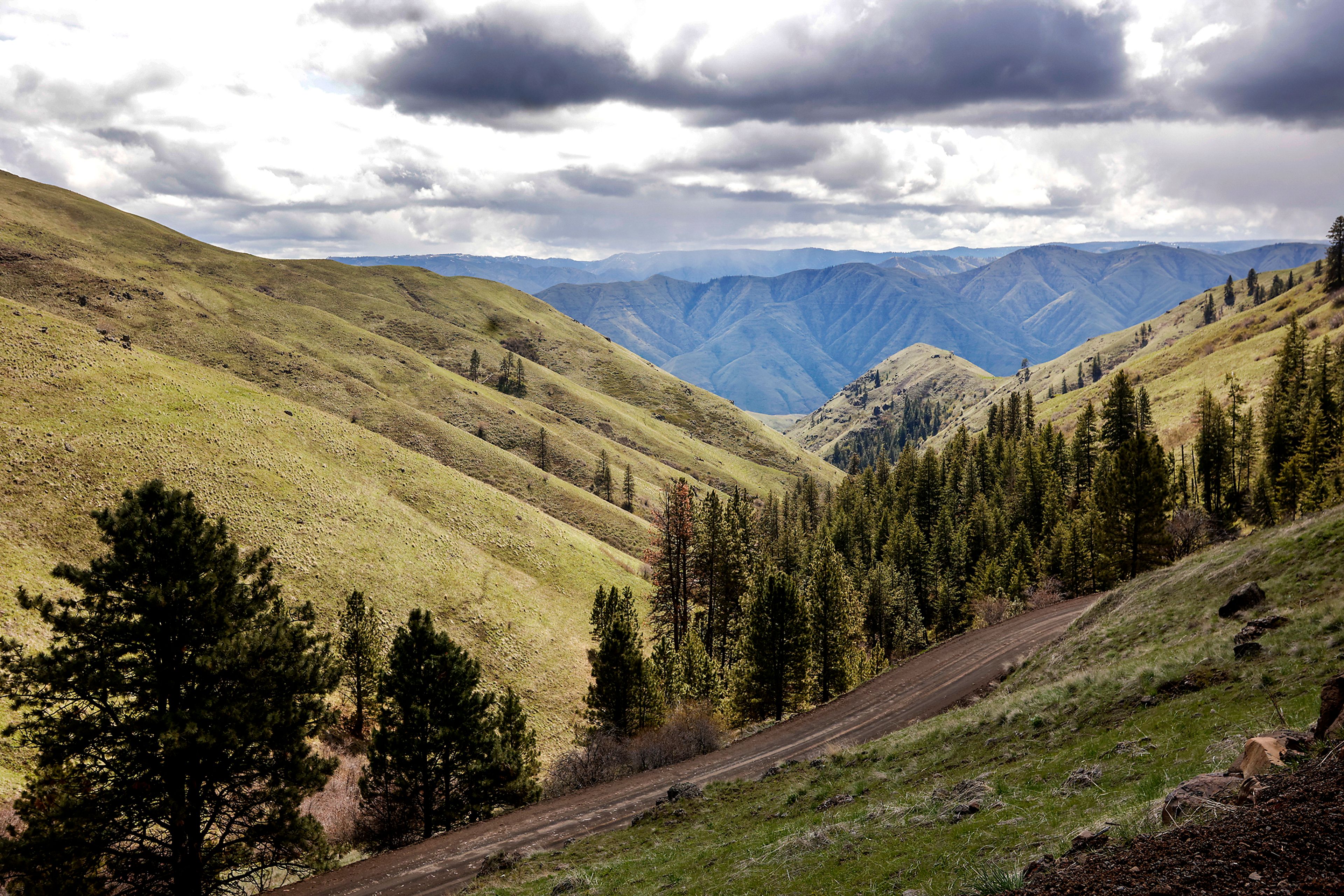
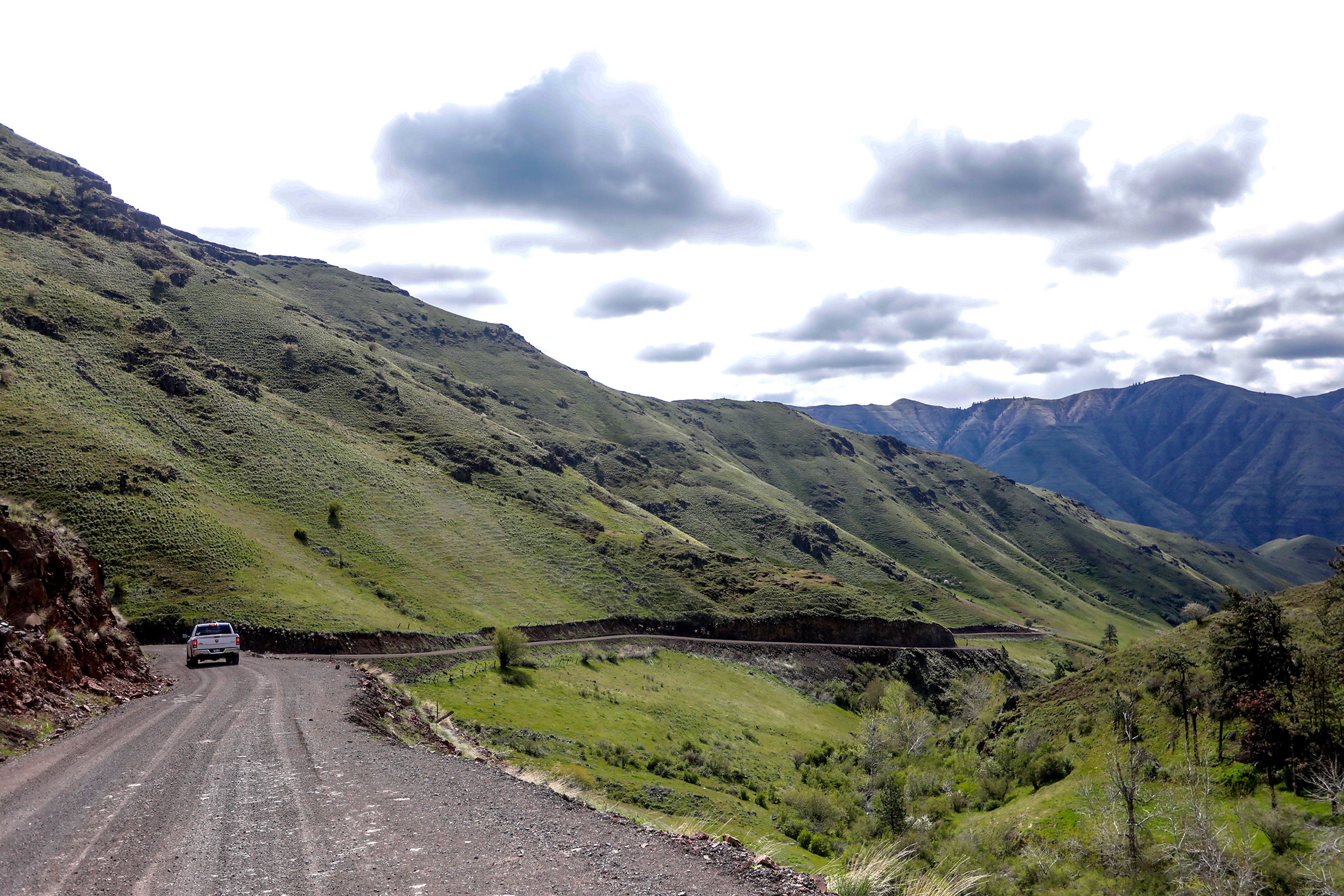
Make no mistake, the gravel road leading to this treasure can still be treacherous. It’s a steep descent with more switchbacks than nearby Rattlesnake Grade and there’s not a guardrail in sight. Dry weather is the only time to embark on this jaunt, and it’s probably not for folks who freak out on narrow routes, such as the Going-to-the-Sun Road in Glacier Park.
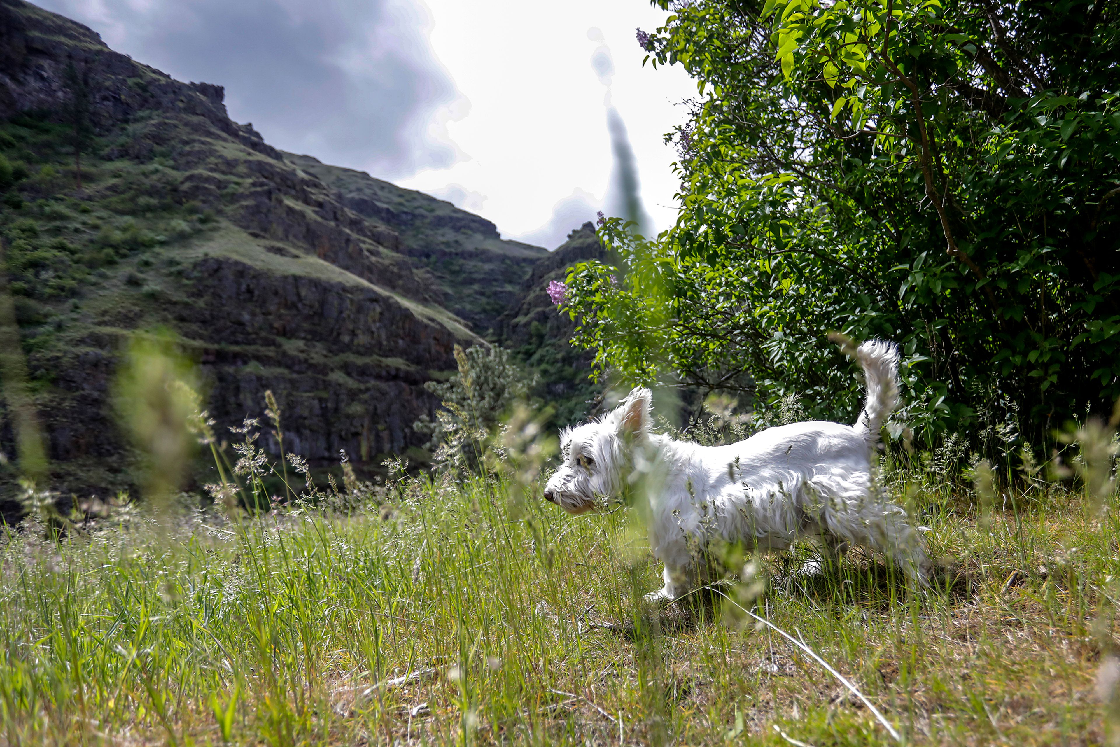
Other than that, this is a perfect drive in rural Asotin County. Late spring and early fall are ideal times to drop into the canyon for a step back in time and a breath of fresh air. The hills are green now, and an array of wildflowers are in bloom. A few lilac bushes offer their sweet fragrance near a former homestead, where you can also see the hard work of settlers who built rock walls that are still standing.
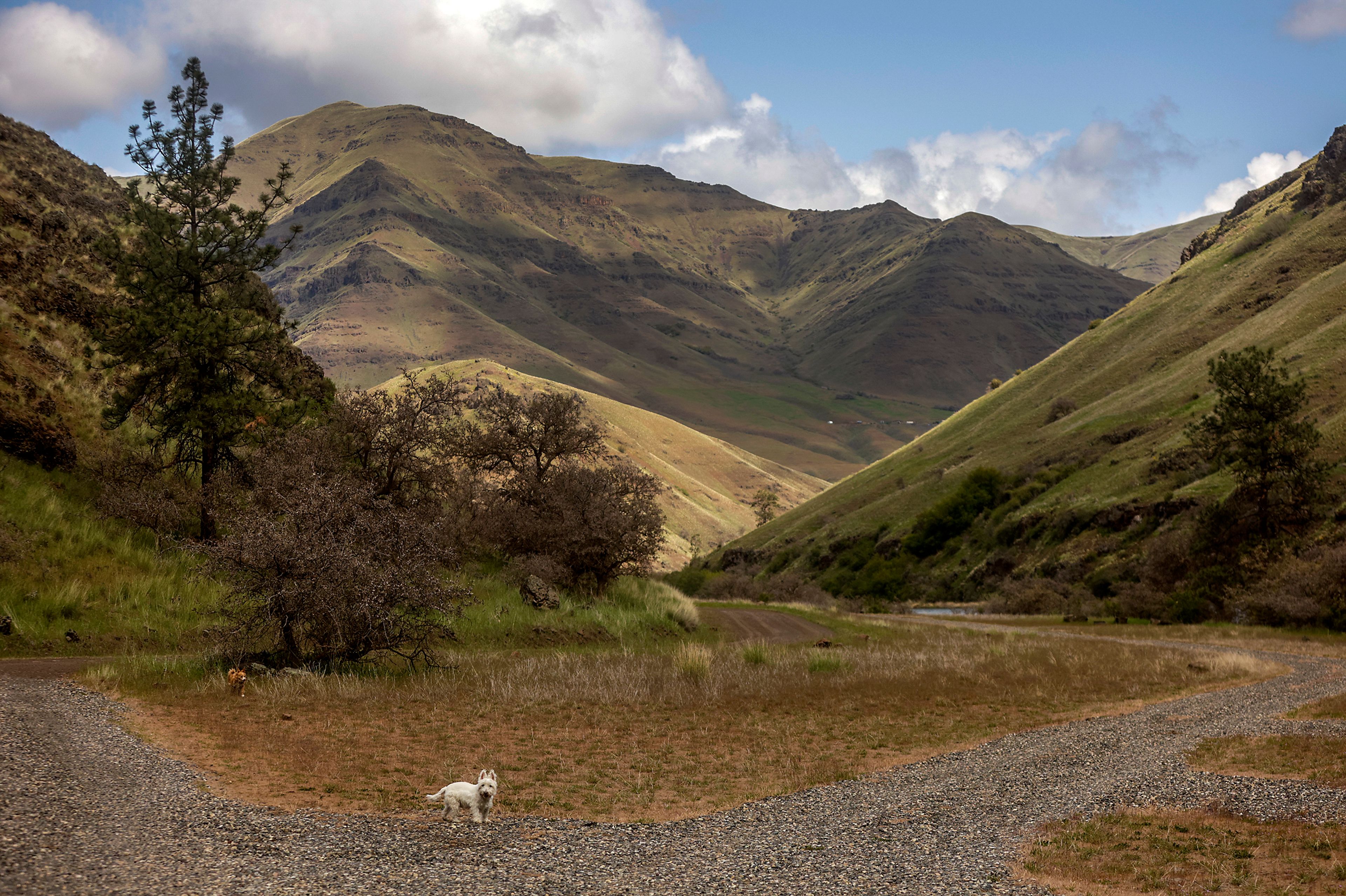
Before you see the mysterious Hole in the Wall, which was once part of the only highway leading to Oregon, you’ll come across primitive campsites and a public toilet managed by the Washington Department of Fish and Wildlife. There are no picnic tables, power or water hook-ups, and campers must haul their own trash.
Fire pits and shade trees make this an attractive place to get away from it all, and it only requires a Discovery Pass, which are available at the Nom Nom market in Asotin or online. No reservations are needed because it’s first-come, first-serve, and there’s no special fee to use the space.
It can get busy during the summer months and whenever the fish are biting, but on a recent spring day, the campground was empty, and the only sounds heard came from the rushing river, wind in the trees and chirping birds.
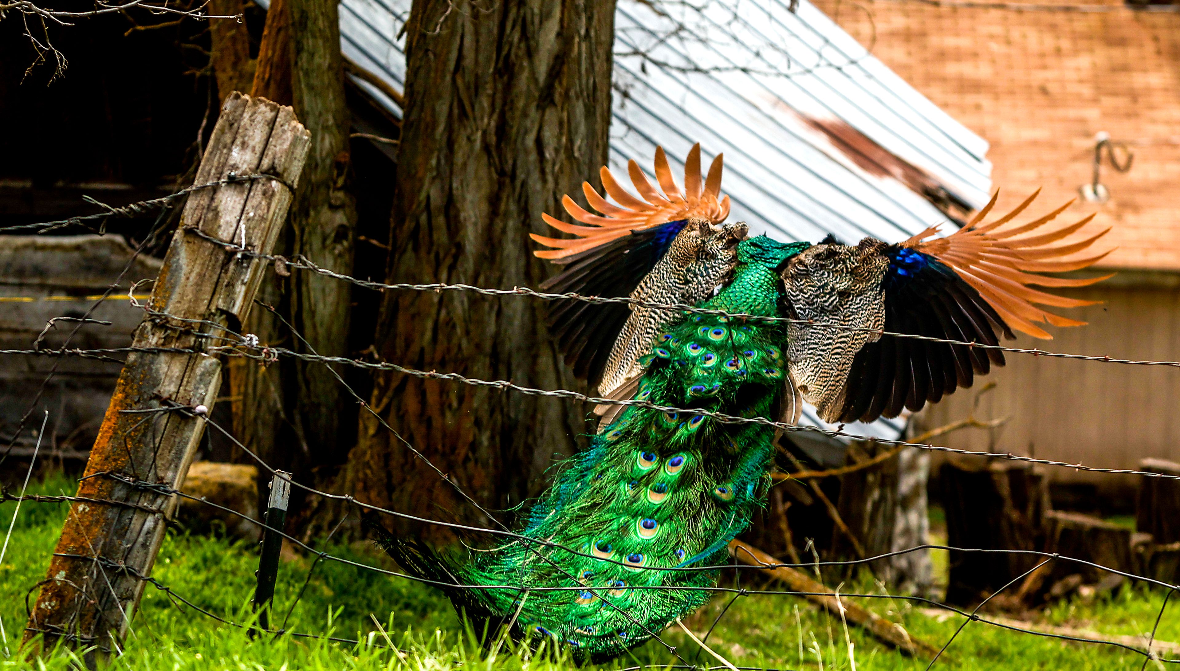
A few ranch houses are at the bottom of the grade, where you may see peacocks preening and cattle lowing along the road. Other wildlife is abundant.
According to historians, Shumaker Road was the original route between Lewiston and Enterprise. It was carved out of the canyon in 1892 for wagons and replaced with the current state highway route in the 1930s. Montgomery Ridge Road and Schumaker are now maintained by the Asotin County Road Department.
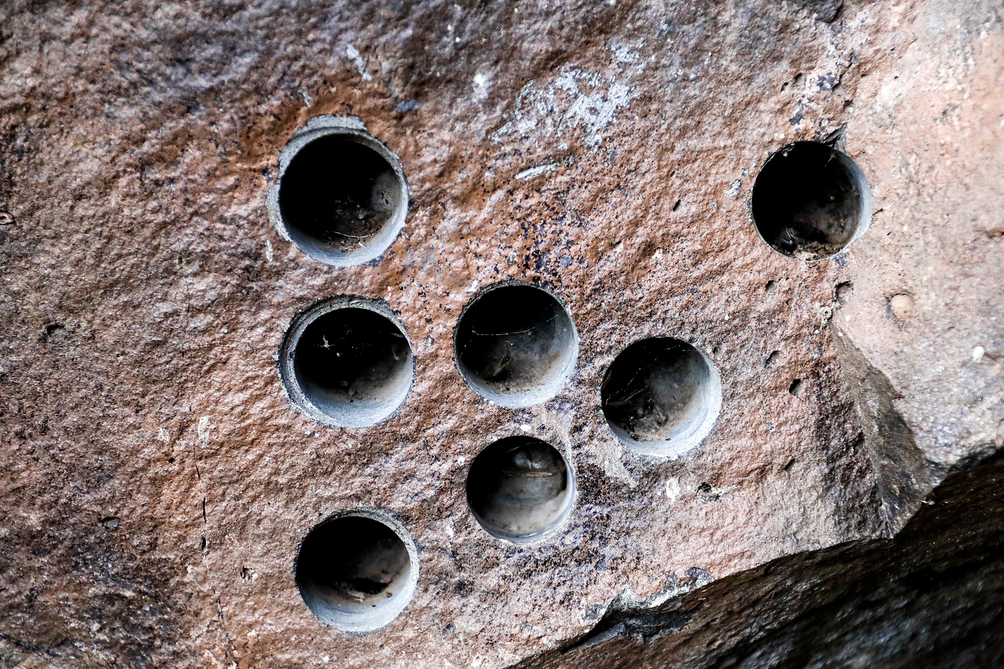
In the 1890s, dynamite was used to blast through basalt rock along the river, creating the Hole in the Wall. A cable secured to the nearby rocks suggests a ferry system was once used there to get folks across the river. After the tunnel was completed, a bridge was built upstream to replace the ferry, but it was destroyed by an ice dam in 1930.
The hole now provides a great backdrop for photos and an interesting and unique site to visit. There’s room to turn around near the entrance, if you choose to drive all the way to the wall. n
Hole in the Wall
LOCATION: Bottom of Shumaker Grade in Asotin County, 30 miles south of Asotin. About 2 miles after you pass through Anatone, take a left on Montgomery Ridge Road, and a mile later, take a right on Shumaker Road, where your descent to the Grande Ronde River begins. At the bottom of the grade, the road turns west and proceeds upriver about 2.5 miles.
WHAT YOU’LL DO: Explore the intriguing rock hole, pack a picnic lunch or camp and fish on public lands along the river. Campsites at Snyder Bar are first-come, first-serve and an outhouse is available. The site is managed by the Washington Department of Fish and Wildlife.
DIFFICULTY: Between 2 and 4 out of 5, depending on the weather and road conditions. Once you’re near the hole, the walk is easy or you can drive to it.
DON’T FORGET: Shumaker Grade is twisty and can be muddy and slick, so take it slow, and avoid the drive in the winter or after a hard rain. It’s also remote, so it’s a good idea to pack food and water for emergencies. When the weather warms up, keep an eye out for rattlesnakes when you’re walking.
NEARBY SITES OF INTEREST: Along the scenic drive, you’ll likely see longhorn cattle, peacocks, deer and other wildlife. Snyder Bar campsites require a Discovery Pass or a vehicle-use permit that comes with a fishing and hunting license. The area is a popular staging and camping area for anglers, rafters and boaters.
